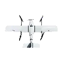
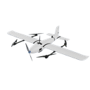
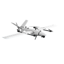
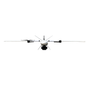
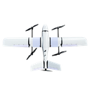
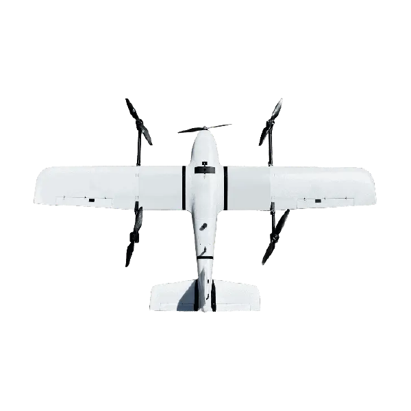
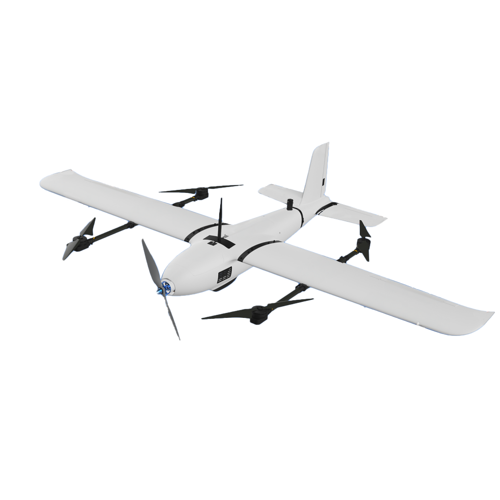
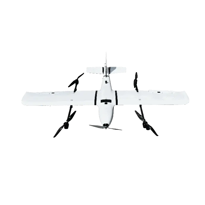
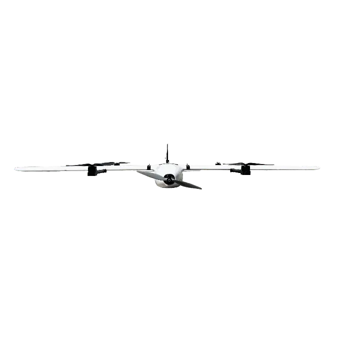
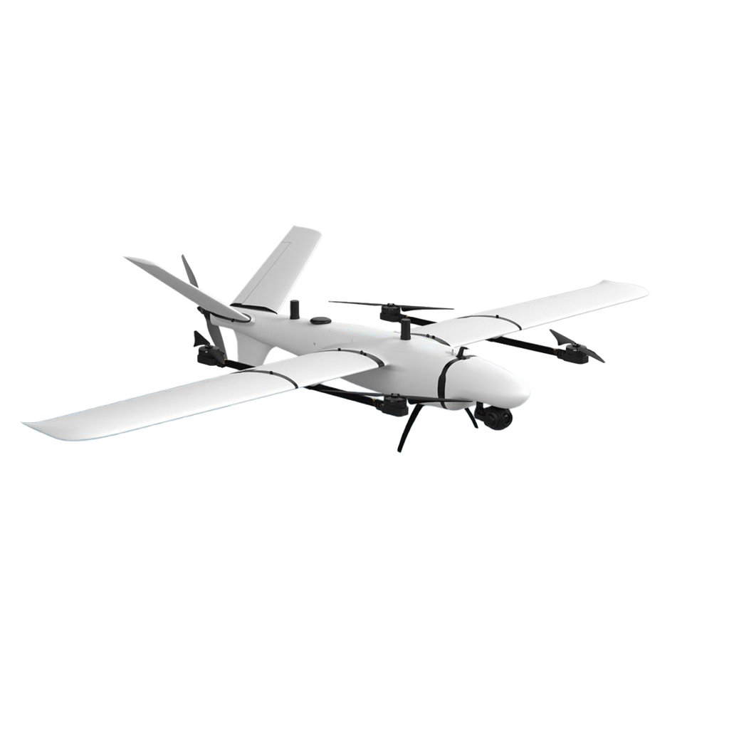
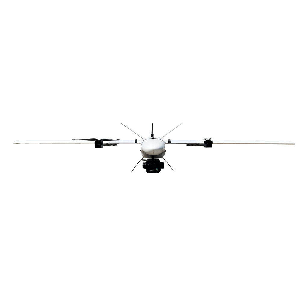
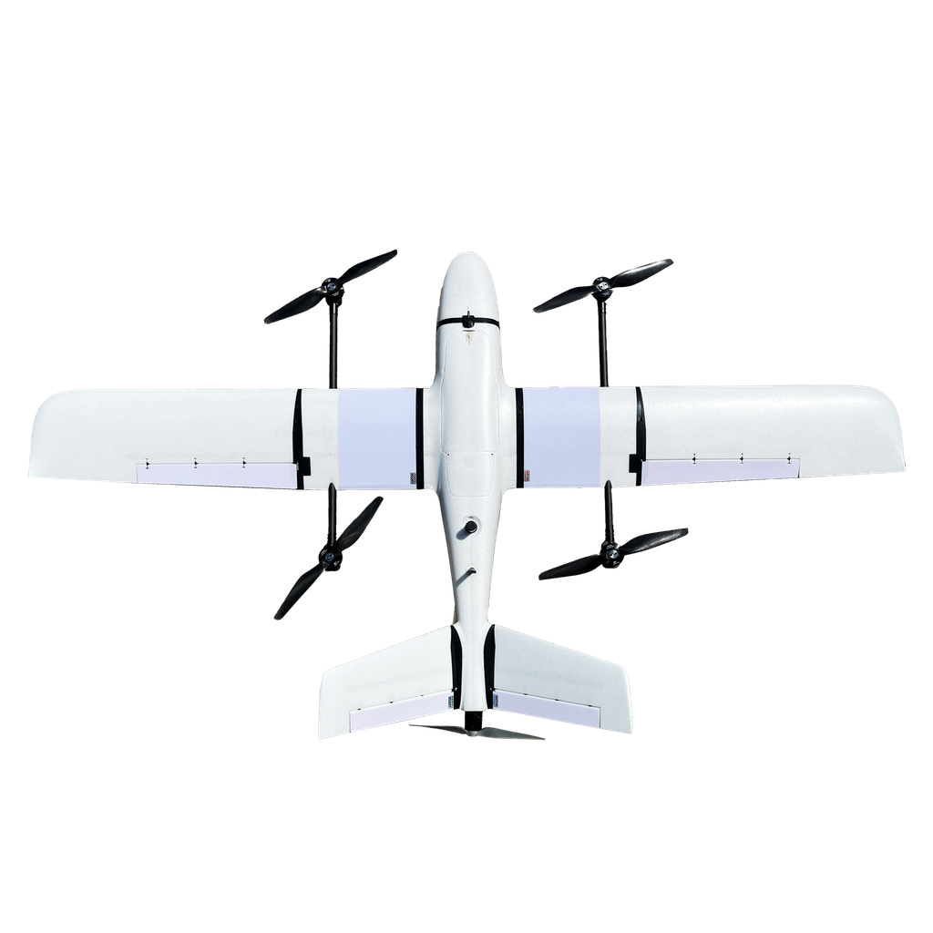
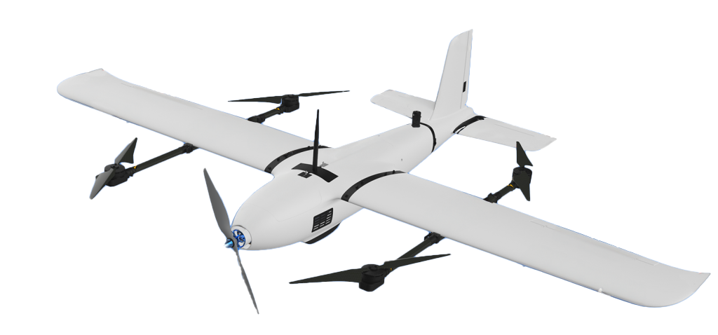
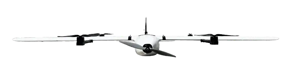
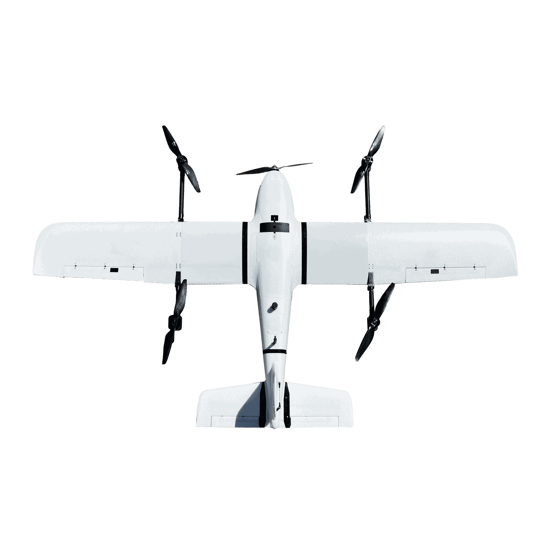
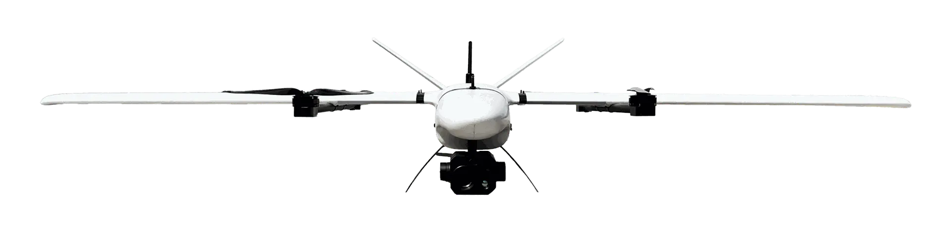
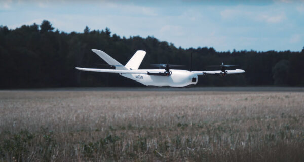
UAV KOLIBER 2.0
Koliber VTOL a real look into the future!
Photogrammetric line
Observation line

Flight time
See a comparison of flight times versus the surface mapping capabilities of commercially available systems.

The chart includes a flight at an altitude of 120 AGL with lateral and longitudinal coverage of 70% in optimal weather conditions.
Cooperating GCS software
MISSION PLANNER
Open source. An application available to all that allows us to use the full capabilities of our drones. Due to the enormity of the functions dedicated to advanced pilots.

QGROUND CONTROL STATION
For those flying previously on fireware PX4. The app is available for Windows, iOS and android.

Material cover for safety and comfort
For those who want to move long distances in comfort. Lightweight yet durable cover with high-grade foam filling. Portability is facilitated by transport straps and durable transport wheels. The underside of the cover is made of waterproof, abrasion-resistant material.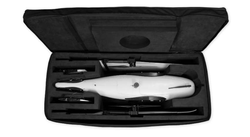
The fabric cover is equipped with two pockets so that the operations manual and all necessary documents will always be with you. A separate pocket is filled with a takeoff and landing sheet, all for comfortable performance of operations even in harsh terrain.
Proposed Applications of KOLIBER 2.0
TRAINING
Koliber VTOL is ideal for recreational flight enthusiasts, hobbyists and training centers - ideal for preparing for the DRON pilot qualification certificate exam (NSTS-03 and NSTS07). Two flight modes - manual and stabilized by autopilot will allow you to safely gain experience and give you full control over the drone. MASTER-SLAVE control gives the instructor priority control over the flight operations. EPO construction additionally reinforced with composites ensures survival of even the toughest landings.
GEODESY AND SURVEYING
With surveyors and civil engineering specialists in mind. Conduct surveys and inventories without time-consuming rounds of the surveyed area - modern technology used in the aircraft allows fully automatic flights. A high-resolution camera and modern PPK GPS (L1, L2 frequency) will allow you to create a digital terrain model with surgical precision.
PRECISION AGRICULTURE
Equipment tailored to the needs of the modern farm. Use the full potential of the advanced multispectral sensor - check how crops develop on different parts of your field, save up to 92% on spraying. Explore specialized software and develop a plant development map - see if you are wasting resources on over-fertilization, check which crops are lacking minerals or where unwanted weeds are developing, and react with precision. Feel full control over your crops without time-consuming inspections of the entire acreage.

OBSERVATION
FIGHTING CATASTROPHES AND FIRES – In the fight against catastrophes, the speed of locating danger is crucial. The revolutionary KOLIBER 2.0 solution will significantly accelerate the search for missing persons in need of immediate assistance. Additionally, difficult-to-reach areas and extensive fires are no problem for the KOLIBER 2.0 observation line. Despite smoke and poor visibility, it will help you determine the direction in which the fire is spreading and where the fire's epicenter is located.

SPECIFICATION
WINGSPAN | 2100 mm |
OVERALL LENGTH | 1073 mm |
MTOM MAXIMUM TAKEOFF WEIGHT | 7 kg |
PAYLOAD MASS. | 1 kg |
CRUISING SPEED | 20 m/s |
MINIMUM SPEED | 12 m/s |
MAXIMUM SPEED | 28 m/s |
MAXIMUM FLIGHT LENGTH | do 120 min |
PACKAGE DETAIL
- 1x gotowy do lotu KOLIBER 2.0,
- fabric cover
- control equipment
- RFD868 telemetry data transmission module
- 1x starter kit (1x battery, charger, instruction manual),
- *OPTIONAL integrated camera/module.