Create a map of the terrain and examine the condition of the building
Drones in civil engineering
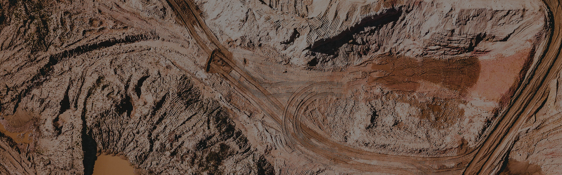
Photogrammetry
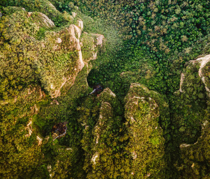
Explore the terrain in 3D with the help of…
Utilize remote sensing methods and transfer the land infrastructure into a digital model. Use an ortophotomap which provides all the features of a geodetic map.
Scan the terrain with an accuracy up to 2 cm per pixel. With such precision you’ll be albo to spot a 1 Euro coin on the ground.
Learn more on how are ortophotomaps created.

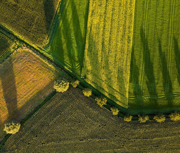
3D maps and digital terrain models


-

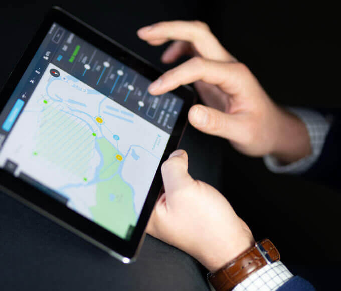
Area and distance measurements
With a digital terrain model we can estimate distances
and area of the area of study
with a high accuracy -

Reports on the condition of buildings
With the help of photos taken at an altitude
we perform precise analysis on the condition of
buildings, roofs and gutters -

Investment visualisation
Based on the map we can visualise progress and appearance of planned investments -

Volume and height measurements
We measure heights, terrain slopes and earth masses balance.
We calculate volumes of linear
and wide-space excavations -

Geodetic maps
Ortophotomaps provide all the features of a geodetic map.
Uniform scale, a coordinate system and a map projection
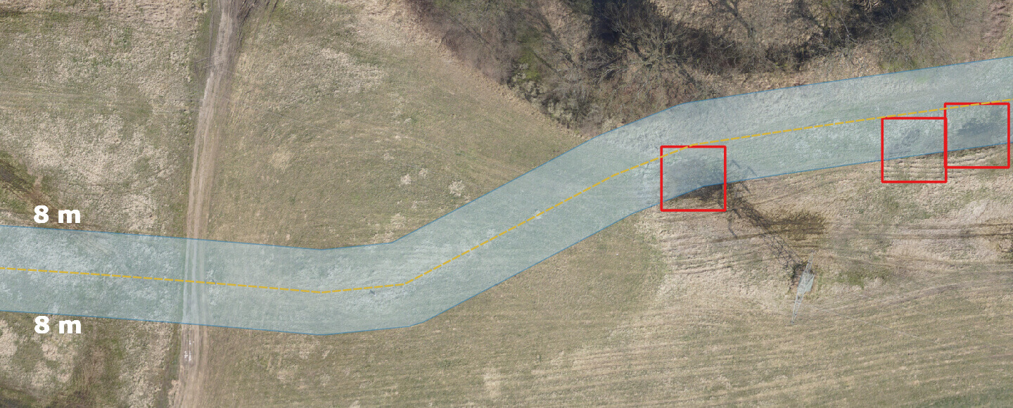
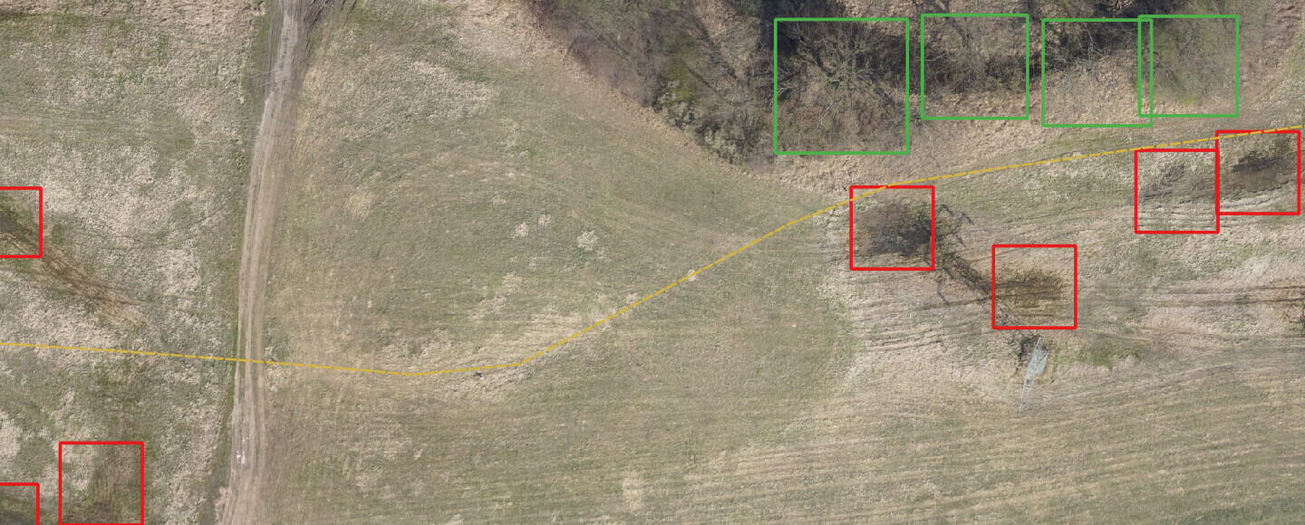
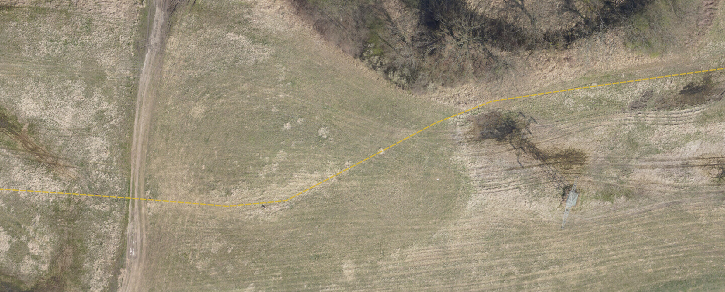
Inspection of linear objects
-

React to interference attempts
Our original algorithms automatically detect potential
places where the pipeline may have been tampered with
-
Manage objects in the protective lane
Check where man-made objects or vegetation that
threatens the infrastructure appear -

We are looking for leakages
Locate leaks that are a threat to the environment.
Minimize losses

Construction site visualisation and progress tracking
Conduct inspections during construction period.
- Inspect the progress of construction works,
- Verify the construction by comparing it with the design,
- Manage construction with the use of modern BIM techniques.