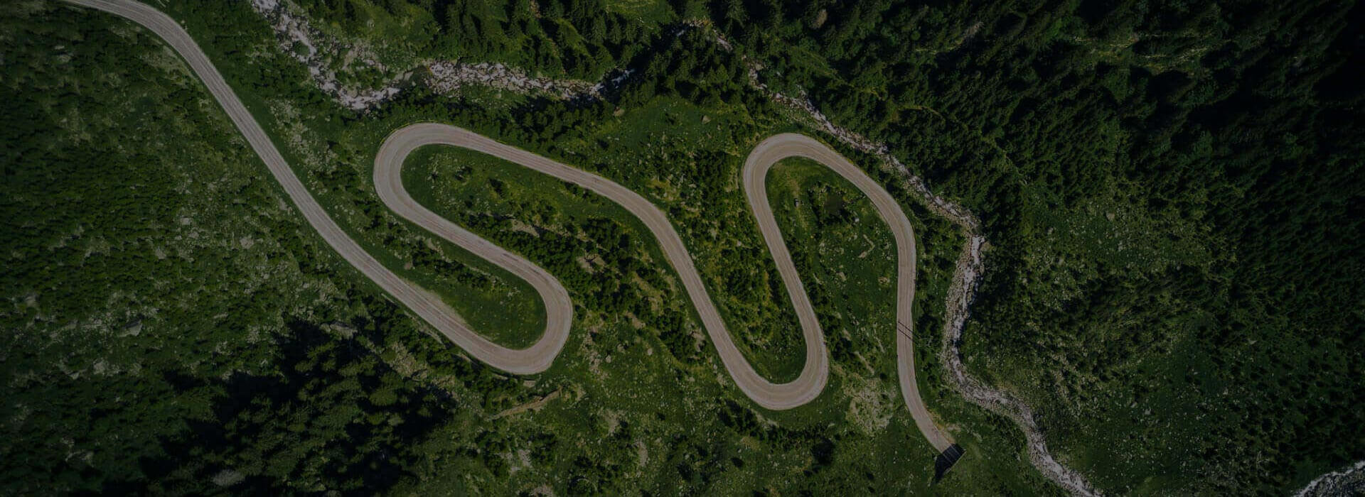
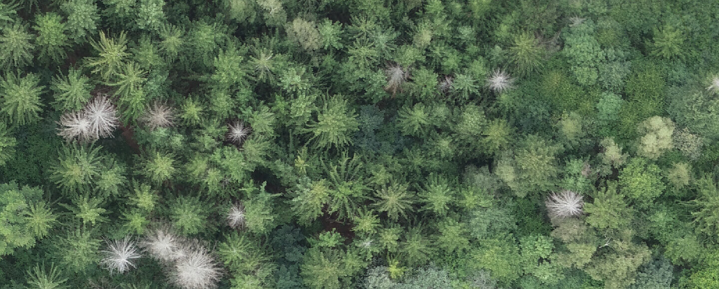
Conduct inspection of the forest from the air
Drones in the service of forestry
Examine the condition of the forest ecosystem
Forest inspection. Efficiently.
Conduct inspection of the forest areas without time consuming detours. Take a look into even the hardest to reach places. From above everything is clearly visible.
Contact
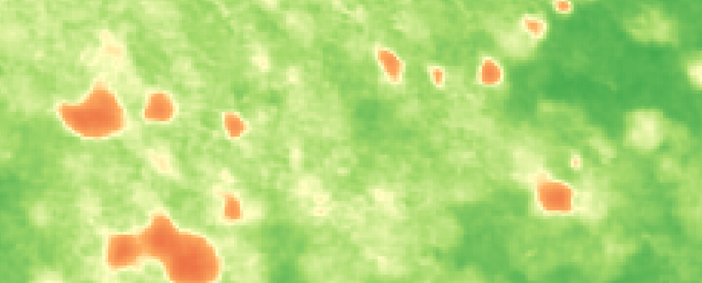
Analysis of the forests health
-

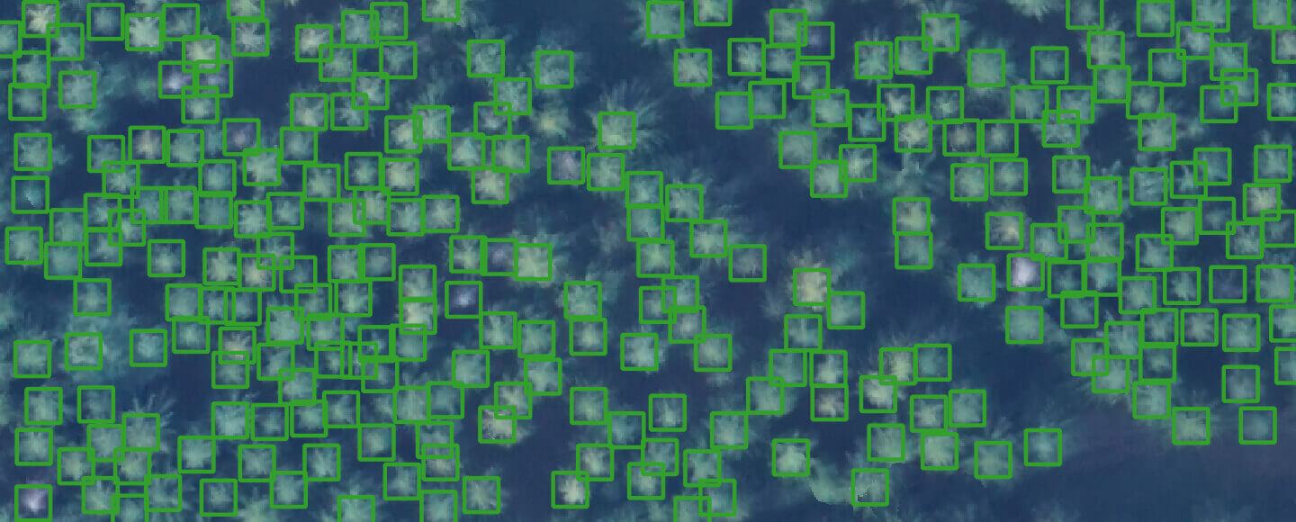
DETECT PESTS
Precisely locate regions
infested with pests.
-

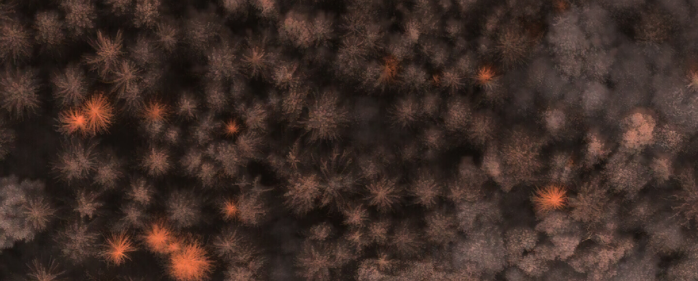
CHECK THE CONDITION OF THE TREE CROWN
Detect trees that have been
infected or are not developing correctly. -

SEE THE IMPACT OF POLLUTION
Study the health of trees
and diseases caused by high amount of pollution.
Tree inspection with watchmaking precision


-

REPORT FROM HARD
TO REACH AREAS
Check even the hardest to reach places.
A 5 meter long runway is enough to take off.
-

ESTIMATION OF THE DIAMETER
OF THE TREE CROWN
Study the condition of the tree crowns,
their diameter and correctness of their growth. -

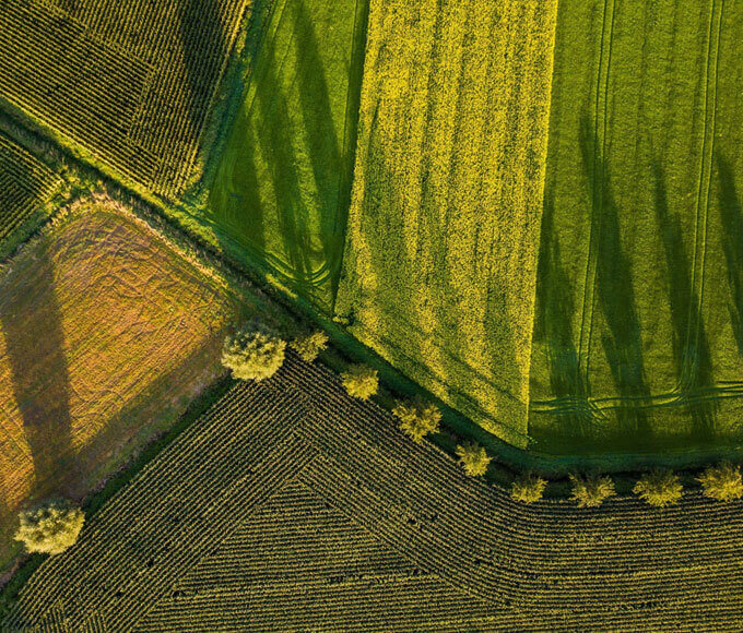
FOREST AREA
INVENTORY
Perform inspection of large
forest areas with high efficiency.