Drones in precise agriculture

Client characteristic
Farmers are experienced and educated people that like what is proven. They are often scared of change. At the same time they are aware that the technology is constantly evolving, which is why they are curious about solutions that will allow them to improve the production efficiency and modernize the company. Drones and precision agriculture come to the rescue.
What problems are farmers facing?
The biggest limitation farmers face is the lack of sufficient knowledge about what happens with plants during their growth. In the case of large areas, there is not enough time and resources to precisely assess the plant’s condition. This leads to actions based only on assumptions and guesses. An important element of proper plant cultivation is to provide them with an appropriate amount of fertilizer that stimulates their growth and protects against pests. Both too little and too much of supplied fertilizer will reduce the amount of crops and hence money. Damage caused by wild animals is a common problem. Of course, farmers can apply to hunting clubs for compensation, but there are several difficulties. First, the damage measurements carried out by the hunting club are inaccurate and may lead to underestimation of the compensation value. Secondly, not all damage can be recognized right away.
Which problems in farming can be solved with drones?
While agriculture has remained unchanged for many years, new technologies are constantly appearing. They are meant to improve the quality of services provided by farmers and above all, to accelerate decision making and increase precision.
Orthophotomap is an ideal tool to optimize the process of plant fertilization, growth verification, damage inventory, as well as test soil drainage.
Remote sensing utilizes the plant’s ability to reflect, absorb and transmit electromagnetic waves that are sent by the Sun. Such reflections of radiation are used by us to assess the plant’s condition and to plan fertilization, because on their basis we are able to distinguish areas that, for example, might not be sufficiently fertilized.
Prescription map is used for variable dosing of fertilizer to plants. With it, it is possible to obtain information about the condition of plants necessary to provide them with an optimal amount of fertilizer in order to evenly nourish them throughout the field. All these methods we provide allow us to introduce so-called precision farming to the farm. It allows farmers to reduce expenses on fuel and fertilizer and enables the possibility to choose the best harvest time.
Koliber unmanned aircraft is a professional system that is characterized by safety and comfort of work. It is capable of providing data from large areas with a radius of up to 20 km, while the time of flight is up to 150 minutes. All these features put it at the top of unmanned systems. Flight and data collection from large scale areas can be performed in one go.
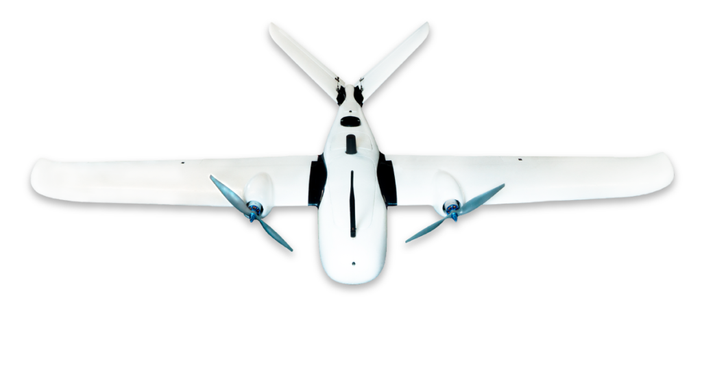
EkoSKY is a project of an unmanned aerial vehicle made of composite parts and powered only by electric motors. It is able to stay up in the air for up to 240 minutes. Plug & Play system makes flight preparation and drone operation surprisingly simple and convenien.

It is the Koliber and ekoSKY unmanned aerial vehicles that allow us to introduce optimal solutions and advanced technologies that can be used for agriculture.
Benefits of introducing drones into agriculture
Multiple cameras and advanced information technology will allow us to obtain information such as the level of soil moisture, fertilizer and necessary micronutrients concentration, presence of pests and the maturity of crops.
Thanks to the ability to examine the plant’s condition, the farmer is able to estimate how much fertilizer he should provide to his crops. This improves the efficiency of the harvest, leads to their maximization and saves money. Precision and accuracy of our methods allows for inspections of even single plants. A perfect example is a vineyard where a drone equipped with a camera scans the entire plantation. Based on the generated report it is possible to pinpoint bushes with ripe fruit. Drones are great for analyzing large areas, e.g. forests and orchards, where there may be even tens of thousands of trees. It is able to calculate the exact number of trees, determine species, age and size. Orthophotomap created with a drone allows to estimate damages caused by wild animals, pests or forces of nature. Collected data helps with determining the accurate extent of the damage, its severity and where it occurs. It allows farmers to introduce appropriate repair actions and to secure crops for future years. Maps prepared this way can be attached to the documentation as evidence, to obtain appropriate compensation from the hunting club or the insurance company.
Undeniable advantages of using drones in agriculture are: speed of decision making and the ability to collect large amounts of data with a single flight. UAVs can take-off and land from hard-to-reach places, and the accompanying advanced technology allows to automate activities related to the cultivation.
Case study – “SOLARIS” Zenon Masiarz
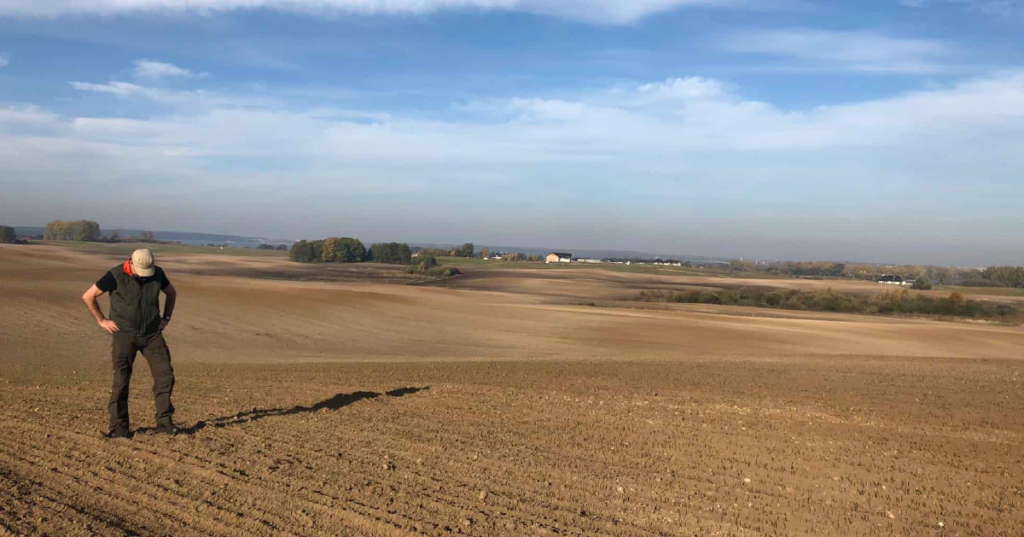
One of our regular customers, who uses drones for agriculture, is Mr Zenon Masiarz, the owner of Solaris. He also operates in the field of agroturism and forest monitoring. We are pleased to cooperate with Mr Zenon since 2019. Only in 2020 we completed jobs for his company, that covered over 542 hectares, and advanced technology has become a permanent feature of his company. It is a perfect example of how drones promote the development of farms and the implementation of the precision farming concept that relies on fast decision-making, effectiveness, precision and also mobility and automation.

